ABOUT THE DEPARTMENT
INITIATION AND BRIEF OVERVIEW
The Department of Geography started its journey in 2012 with only general stream, and has been operating as an Honours Department since July, 2018 under CBCS system. At present, the department has a four-member faculty (1 assistant professor and 3 SACTs). Since its inception, the Department has a good academic record.
VISION AND OUTLOOK
We focus on inculcating an interest for Geography among our students, with particular effort towards building their analytical skills. We focus on overall development of the students so that they can be self-reliant and self-sufficient, keeping in view the CBCS syllabus under WBSU.
In future, our students move on to academic as well as non-academic fields in both private and public sectors for study and service. Many of our students go on to choose and work in fields of geoinformatics, Govt. Sectors etc.
METHODS OF TEACHING
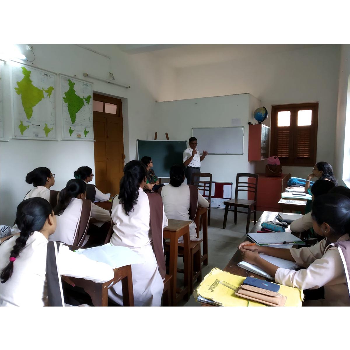
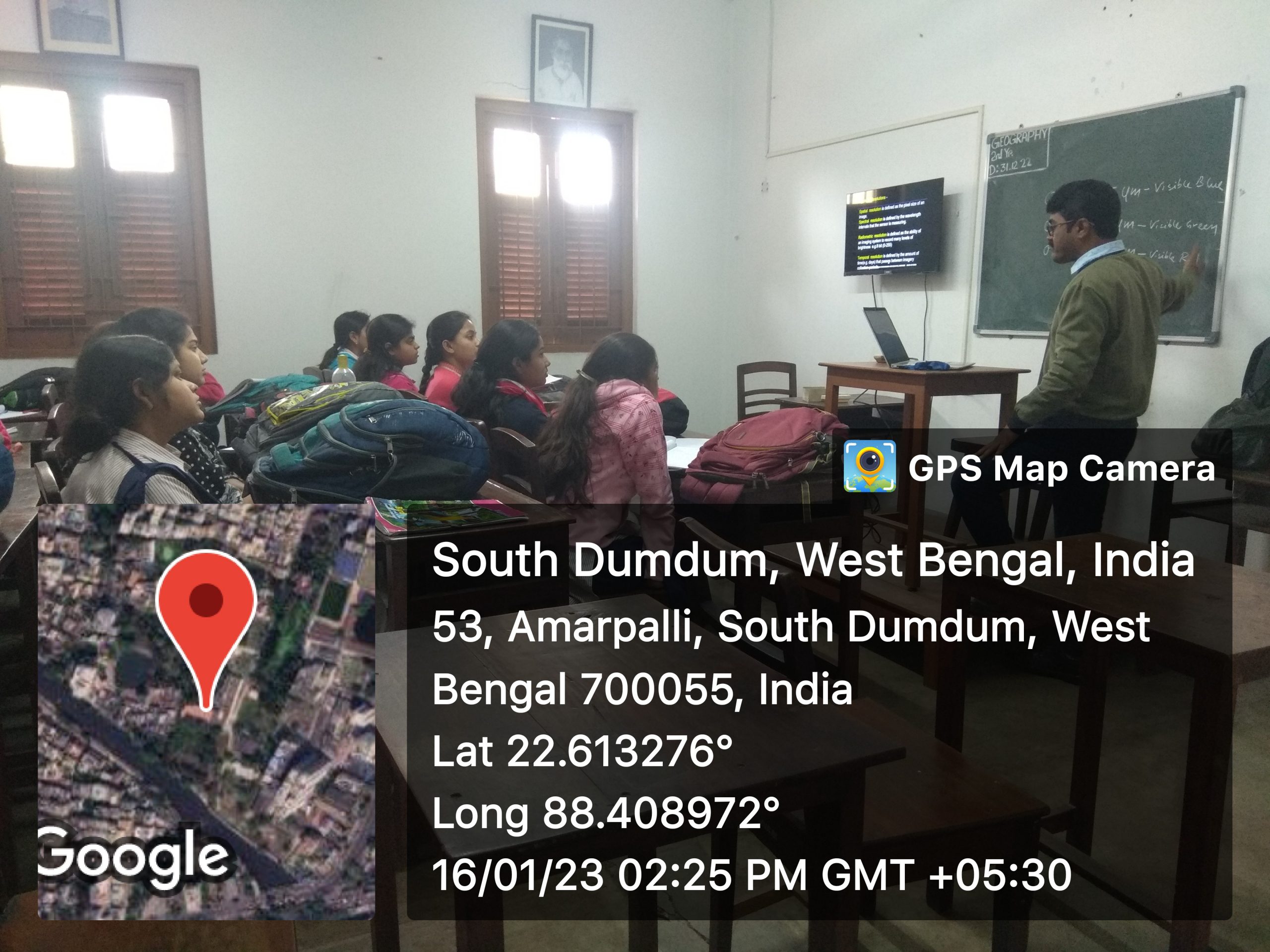
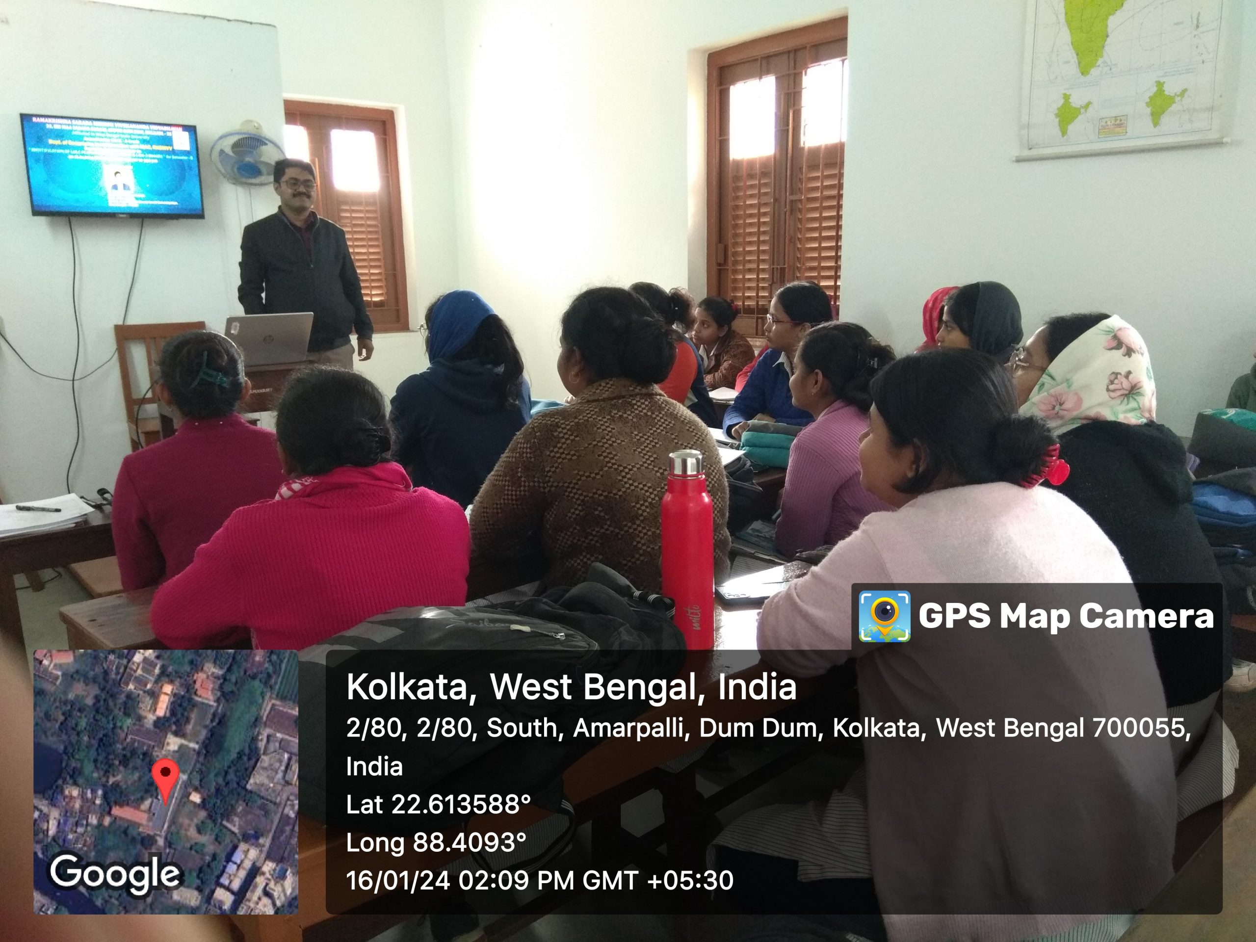
Extensive board work is very essential in Geography. Apart from the classroom lectures or the chalk and talk method, the Department uses ICT based classes in smart classrooms and audio-visual aids, like Power-point presentations to enhance learning interests.
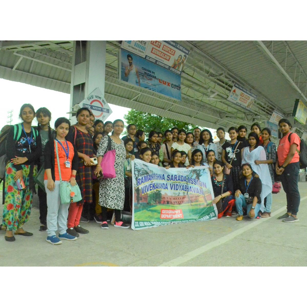
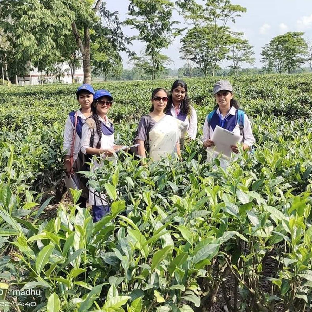
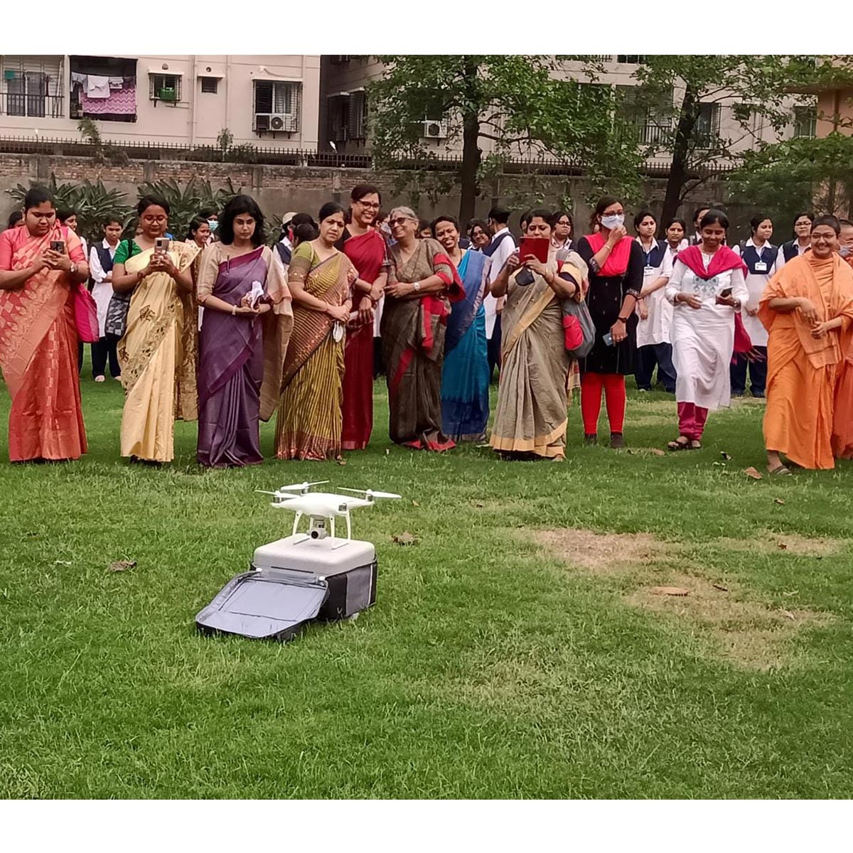
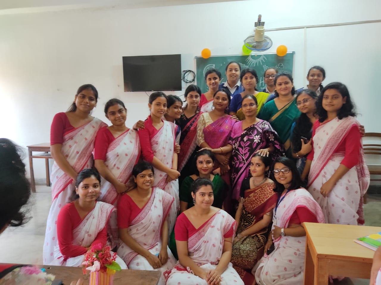
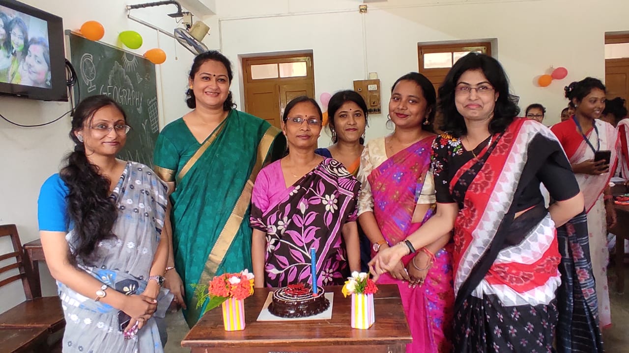
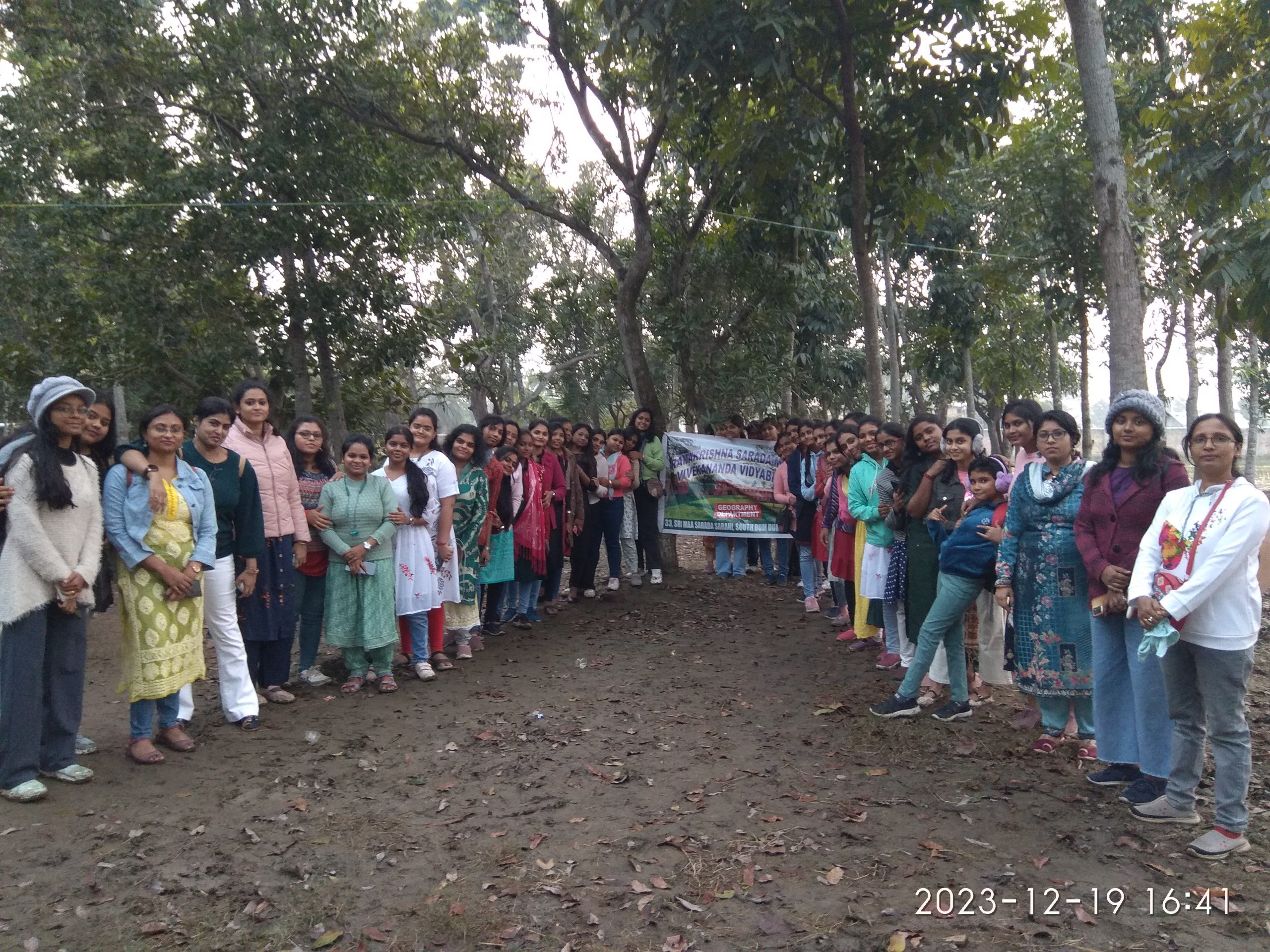
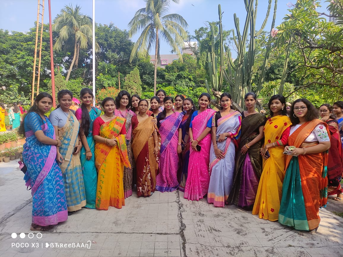
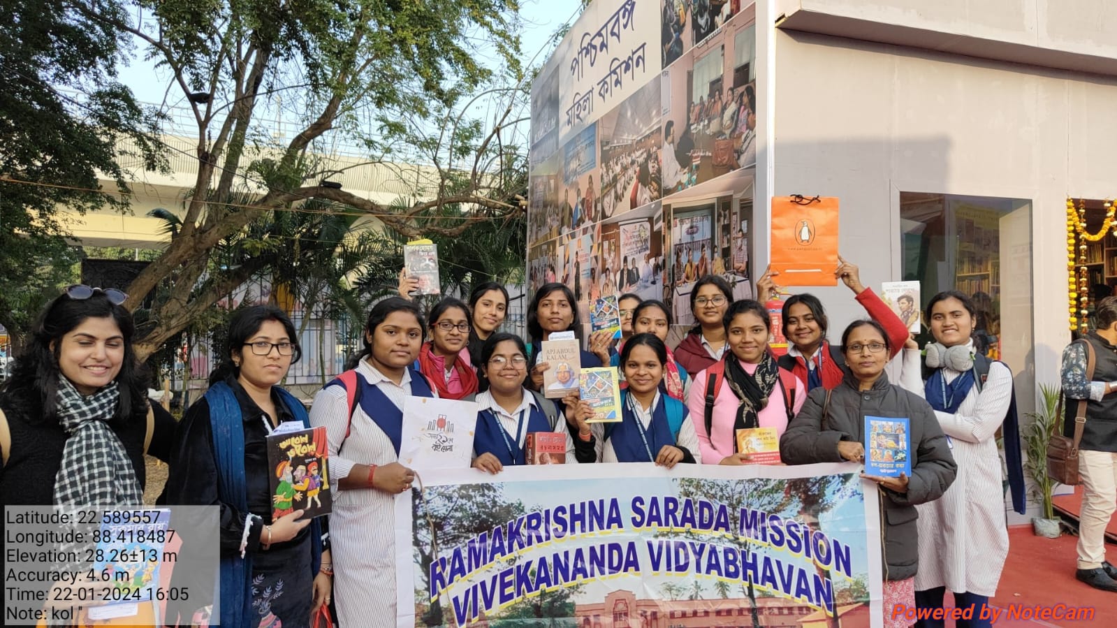
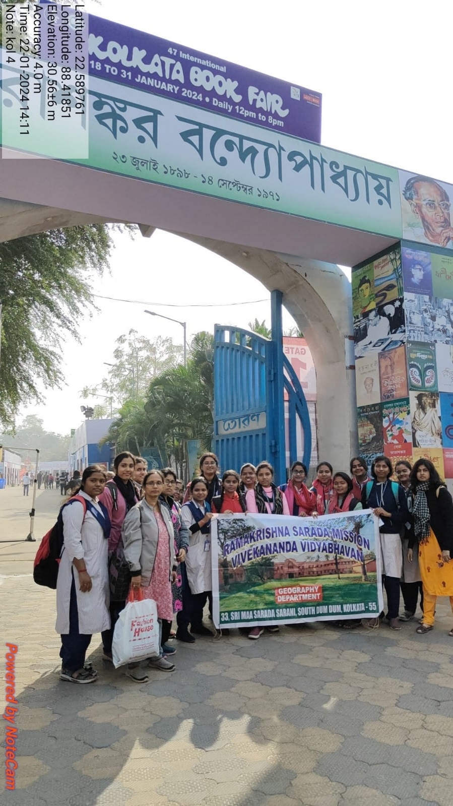
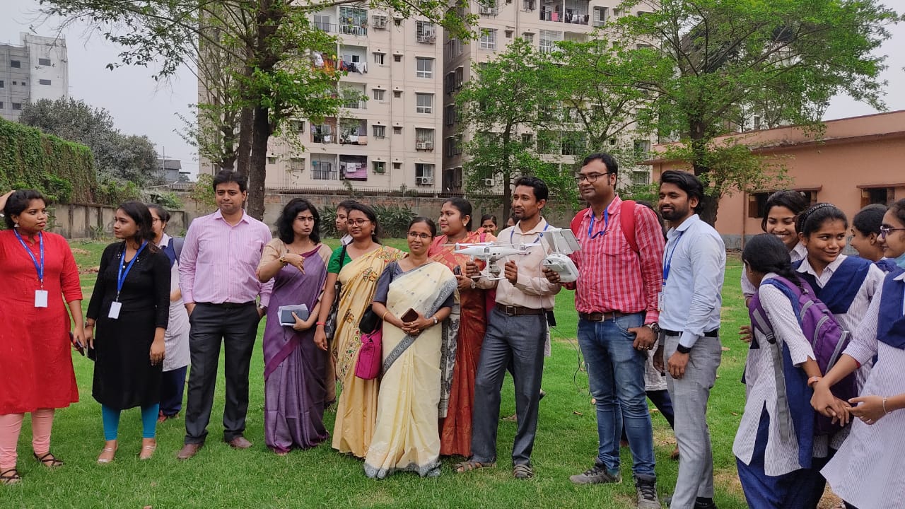
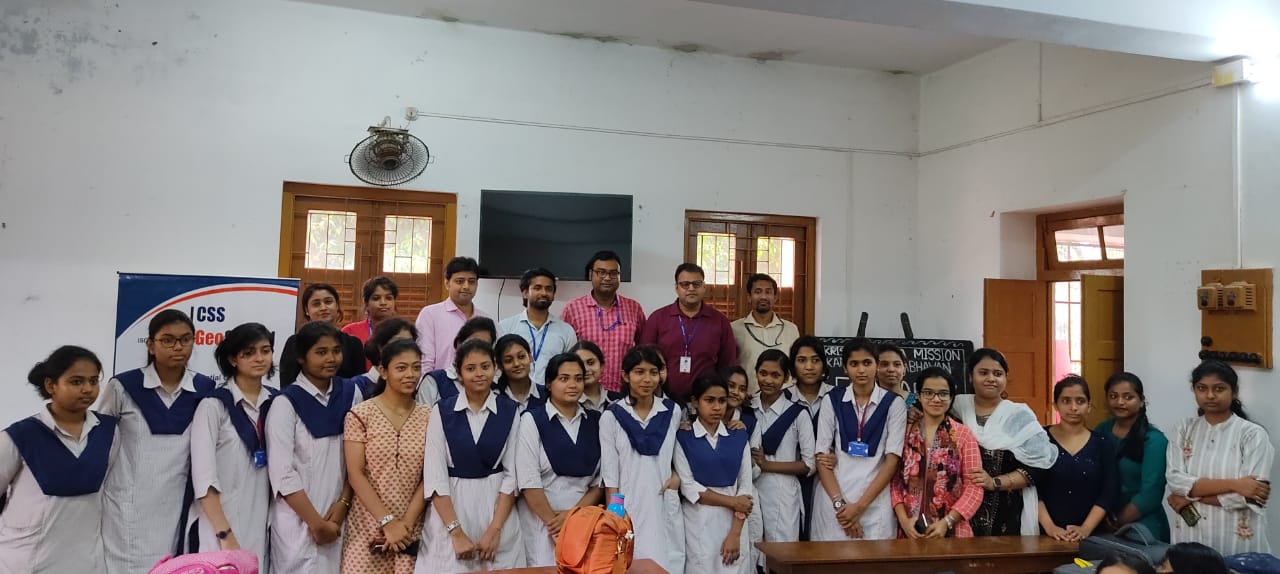
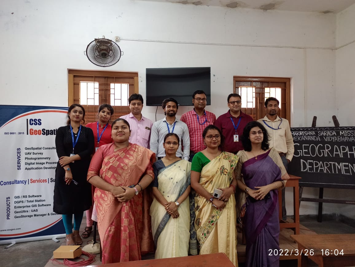
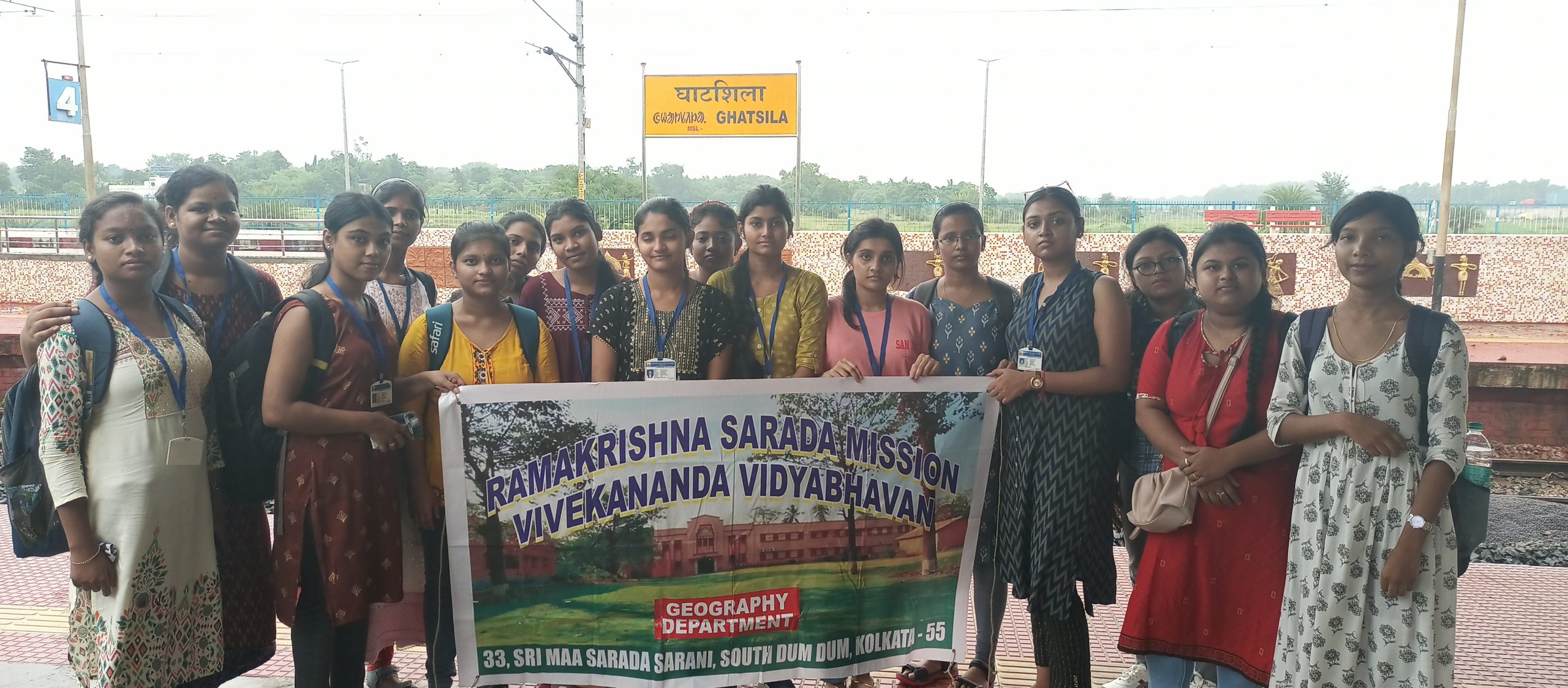
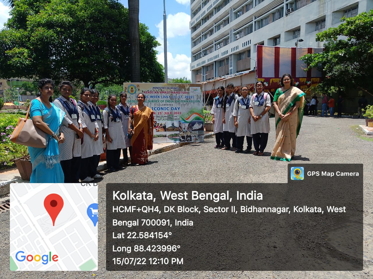
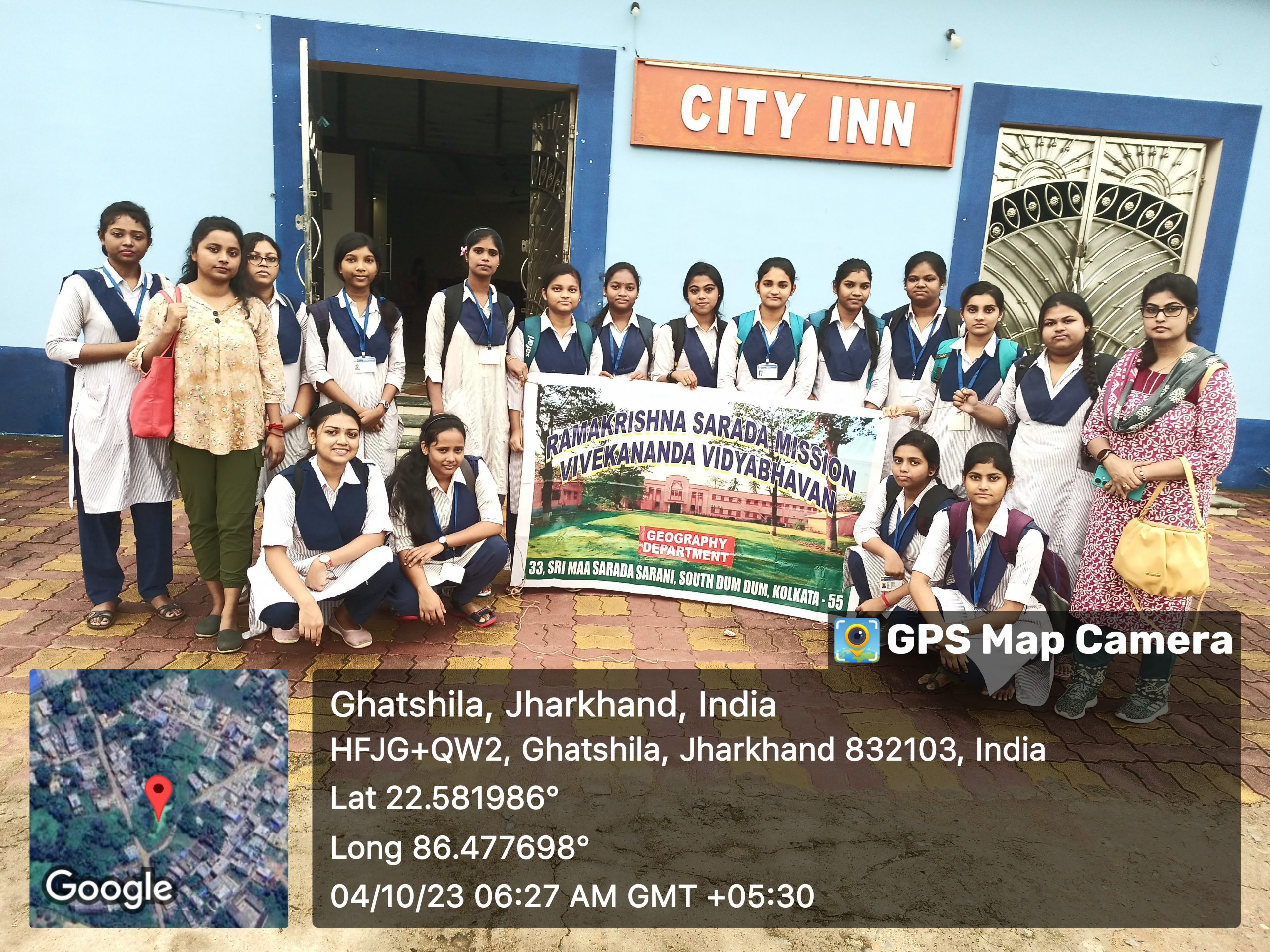
The Department also organises several educational tours and other extension activities each year to enhance the learning capability and to increase a lust for knowledge. It also improves the mental health of the students.
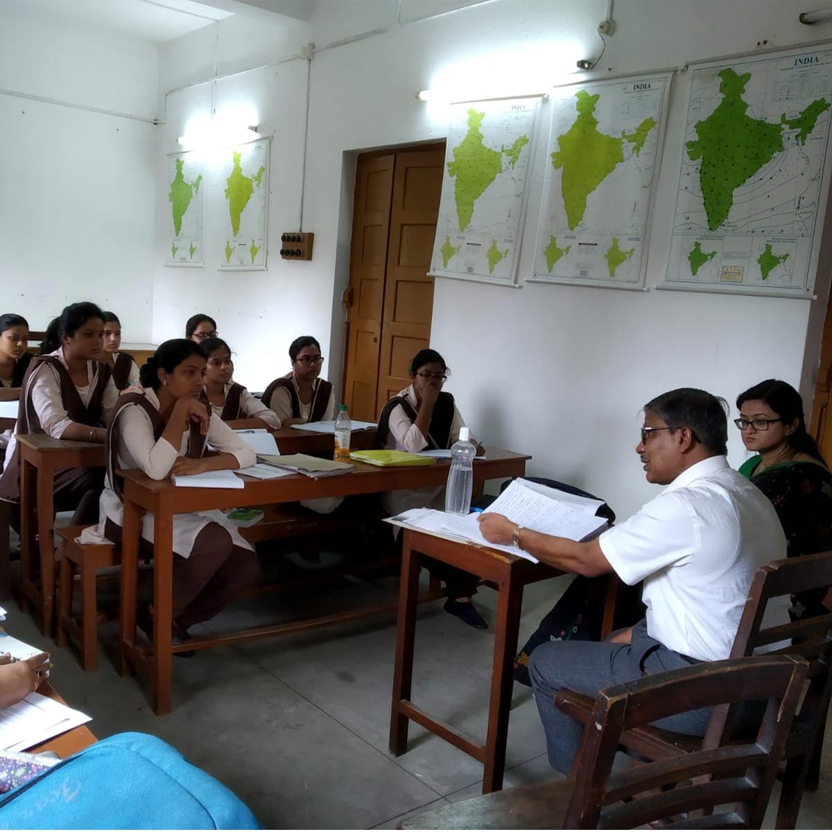
Tutorial classes are taken for students of each Semester. In these classes the students are divided into small groups so that more individual attention can be devoted to their academic supervision and guidance.
Regular assessments through class tests, several internal exams are done and at the end of the semester mock tests of each core course ensure that the students are well prepared for their final end-semester examinations. Constructive feedback and suggestions on their written assignments/tests are shared with the students regularly.
In their project work they learn data handling and paper writing. The entire syllabus is completed before the semester exams take place.
Since May 2020, we use Google Workspace (G Suite for Education) for our regular online teaching-learning activities as well as for various departmental programmes like extension lectures and webinars. During the pandemic, online teaching, sharing study materials with students, setting assignments and tests as well as evaluation and feedback are being carried on as per scheduled routine.
The Department arranges at least one Parent-Teacher Meeting for each semester in a year to discuss the progress of the students with their guardians. In addition, any parent or guardian is welcome to get in touch with the Department regarding any issue/s concerning the student.
The Department has its own feedback system, which is collected from each passing out batch via a printed or a virtual form. A detailed feedback is taken on teaching learning, evaluation, extension activities, skills learnt and future plans.
INFRASTRUCTURE
DEPARTMENTAL HIGHLIGHTS
Geography Dept. Academic Purpose Diploma Course
The department of Geography initiates the certificate course on ‘GEOINFORMATICS’ from January, 2021. Later it was upgraded to a diploma course. The course is available for students of this college as well as for female students affiliated to other institutions and young professionals. The students learn different aspects of QGIS, ARCGIS, ARCPRO, AGISOFT, AUTOCAD, PYTHON COURSE etc. After completing this course they seek admission to study M.Sc in Geoinformatics in different Universities like Symbiosis International University, Savitribai Phule Pune University, Pune; JIS University, Kolkata. One student in 2021 and four students in 2022 got the chance from our college to Symbiosis International University. Another two students passed M.Sc. in Geoinformatics from JIS University, Kolkata.
Email of the Dept: geography@rksmvv.ac.in
GEOGRAPHY DEPARTMENT
COURSES OFFERED UNDER THE CBCS SYSTEM (From July, 2018 To June, 2023)
The following courses are offered:
SYLLABUS FOR CBCS
https://wbsu.ac.in/web/Syllabus/UG%20Syllabus/geography-cbcs-draft-syllabus.pdf
COURSES OFFERED UNDER NEP SYSTEM (Effective From July, 2023 onwards)
The following courses are offered :
SYLLABUS FOR NEP
https://wbsu.ac.in/web/wp-content/uploads/2024/01/Geography-UG-CBCS-Syllabus-NEP-2020.pdf
PROGRAMME OUTCOME (PO) OF GEOGRAPHY HONOURS
PO1: Knowledge and Application: Understand the basic concepts, fundamental principles, and the scientific theories related to various phenomena and their relevance in day-to- day life.
PO2: Communication Skills: Communicate the subject effectively, and adopt technology and electronic/print media in disseminating thoughts, facts and realities.
PO3: Social responsibility: Understand the professional, and social responsibilities. Develop an obligation to act for the benefit of society at large. Cultivate the responsibility to maintain a balance between the economy and the ecosystems. Understand the importance and judicious use of technology for the sustainable growth of mankind in synergy with nature
PO4: Critical, logical and rational thinking: Acquire the ability for objective, rational, sceptical, logical, and unbiased analysis of factual evidence to form a judgement or conclusion. Enhance the process of rational thinking, problem solving and analytical evaluation from different perspectives.
PO5: Enlightened and effective Citizenship: Cultivate progressive citizenship for a knowledge society for peace and prosperity of nations and the world. Develop clear, rational and progressive thinking. Participate in decision-making concerning the society and upholding national development, integrity, unity and fraternity.
PO6: Values and Ethics: Recognize the importance, worth and usefulness of principles and standards of behaviour and moral dimensions of one’s own decisions and judgments. Create awareness of various aspects of social responsibility through social, outreach, and cultural activities during the programme.
PO7: Sustainable development: Understand, organise and promote the principle of human development goals by sustaining the ability of natural systems, natural resources and ecosystem services upon which the economy and society depends.
PO8: Life-long process of Learning: Cultivate the proficiency to engage in continuous reflective learning in the context of technological and scientific advancements. Enhance the research culture and uphold scientific integrity and objectivity.
PO9: Employment Skills: Prepare for employment in various fields by developing problem solving, analytical and logical skills which make the students fit and eligible for jobs in diverse fields such as science, engineering, industries, survey, education, banking, development-planning, business, public service, self business etc. efficiently. A broad spectrum study of various subjects helps the students to compete in various examinations for employment after graduation.
PROGRAMME SPECIFIC OUTCOMES (PSO) OF GEOGRAPHY :
| Course | COURSE OUTCOMES (CO) OF GEOA
(NEP SYLLABUS) |
Bloom’s Taxonomy | PSOs mapping |
| DSC101T/P | GEODSC101T/P : Physical Geography
● Physical Geography helps students to understand the Earth’s systems, manage the environment and natural resources, and address climate change. ● It explores the physical characteristics of the Earth such as landforms, climate patterns, soil, vegetation, and ecosystems. ● It helps us to understand the interconnectedness of the Earth’s systems, including the atmosphere, hydrosphere, lithosphere, and biosphere. |
Define, describe, identify, name, write, classify, interpret, justify, compare, criticise, determine, evaluate |
1,2,3,4,5,8,9 |
| DSC202T/P | GEODSC202T/P : Human Geography
● Human Geography provides knowledge about the human aspects of geography. ● Various quantitative techniques, indexes, formulas are taught to depict, interpret and represent the human geographic data. ● Students will learn about the evolution of human societies with the passage of time as well as the lifestyle of different human societies living in different parts of the world. |
Define, describe, identify, outline, classify, illustrate, criticise, evaluate, contrast, interpret, compare
|
1,2,4,5,6,8,9 |
| DSC303T/P | GEODSC303T/ P : Geotectonics and Geomorphology
● Geotectonics and Geomorphology aims to provide an in-depth knowledge about the physical features of the earth. ● It makes the students aware of the dynamic geomorphic processes responsible for the development of landforms of varied types and nature. ● It focuses on various aspects of the earth’s surface, especially the lithosphere. ● This paper focuses on the creation, evolution, structure, and destruction of various landforms of the earth. |
Define, describe, identify, write, compare, criticise, determine, evaluate, example, interpret
|
1,2,3,4,5,8,9 |
| DSC404T/P | GEODSC404T/P : Climatology
● Climatology provides the knowledge of the dynamics of earth’s atmosphere and global climate. ● Helps in studying and understanding climate change. ● Through the analysis of historical climate data and the atmospheric processes, students will understand global warming and its impacts on ecosystems, weather patterns, and human societies. |
Define, describe, identify, index, indicate, name, outline, record, tabulate, evaluate, explain, interpret measure
|
1,2,3,4,6,7,8,9 |
| DSC405T | GEODSC405T : Economic Geography
● To understand basic economic processes (Production, Exchange, Consumption), revision and application of modes of economic development by various models, ● Compare the economic environment in the world and understand economic transportation with the role of international trade in economic development. |
Compare, elaborate, explain, measure, evaluate,
interpret, define, describe, name, classify |
1,2,3,4,5,9 |
| DSC406T | GEODSC406T : Geography of India and West Bengal
● To learn about the physical environment, location pattern, population size, shape and characteristics, agricultural distribution of India and West Bengal. ● Helps to learn about the physiographic divisions, character of soil and natural vegetation of our state also. ● Helps to know the industrial location and their regional distribution, transportation systems of our country and state. ● Students come to know about different serious issues of West Bengal and may formulate some remedial measures in order to mitigate these to some extent. |
Compare, differentiate,, identify, combine, write, contrast, define, describe outline
|
1,2,3,4,6,7,8,9 |
| DSC407T/P | GEODSC407/P : Cartographic Techniques & Thematic Mapping
● Comprehend the concept of scales and representation of data through cartograms; ● Maps have helped with exploration, travel, and the planning of cities and military operations; ● Thematic maps used for exploratory spatial data analysis, confirming hypotheses, synthesising spatial data by revealing patterns and relationships, and data presentation. |
define, describe, identify, draw, outline, analyse,
compare, correlate, create design, develop, compare, conclude, interpret |
3,4,5,6,7,8,9 |
| DSC508T | GEODSC508T : Population Geography
● To understand the various facets pertaining to the spatial variation in the distribution of the human population across the Earth with reference to the physical, cultural and socio-economic environment. ● Population studies help us to know how far the growth rate of the economy is keeping pace with the growth rate of the population. |
Define, enumerate, outline
compute, example |
1,2,4,5,6,8,9 |
| DSC509T/P | GEODSC509T/P : Environmental Geography
● Environmental Geography provides a much-needed capability to study and understand interactions between people, and the environments in which they live. ● It prepares students for careers in environmental planning, design, and restoration, as well as in environmental assessment and monitoring, resource management, natural areas preservation, and outdoor and environmental education. ● Helps to visualise geographical issues at different spatial scales, and offer solutions to some of our most pressing environmental problems. |
Define, describe, identify,
index, indicate, name, outline, record, state, study, tabulate, determine, evaluate, explain, interpret measure |
1,2,3,4,5,6,7,8,9 |
| DSC510T | GEODSC510T : Soil and Biogeography
● This paper helps students to learn how to protect soils, plants and animals. ● Students will learn the importance of soil which is the foundation of basic ecosystem function. Soil filters our water, provides essential nutrients to our forests and crops, and helps to regulate the Earth’s temperature as well as many of the important greenhouse gases. ● Students will learn the important role of Biogeography in managing the world’s biodiversity, geographical distribution of organisms, and the information about how and when species may have evolved. |
Define, describe, draw, identify, indicate, list, name outline, read, record, study tabulate, write
|
1,2,3,4,6,8,9 |
| DSC511T/P | GEODSC511T/P : Remote Sensing, GIS, and GNSS
● It is an effective tool for systematic survey, analysis, and better management of natural resources like land, soil, water, forests, mountains etc. as well as it has an important role in hazard monitoring. ● Satellite remote sensors can serve as major sources of data on the effects of human behaviour within the biosphere, enabling the establishment of the spatial scale and extent of the direct interaction of humans with the global land cover. |
Define, draw, point, select diagram, picture, visualise |
1,3,4,7,8,9 |
| DSC612T | GEODSC612T : Evolution of Geographical Thought
● Demonstrate an understanding of the evolution of geographical thoughts from ancient to modern times; ● Analyse and evaluate the contributions of different schools of geography and their impact on the development of the discipline; ● Evaluate the dualisms in geography and their relevance in contemporary geography; ● Critically evaluate the different trends in geography and their impact on the discipline. |
Name, quote, study, detail, express, elaborate, classify, illustrate, distinguish, explain, identify, evaluate
|
1,5,8 |
| DSC613T/P | GEODSC613T/P : Hazard Management
To understand the combination of hazards, vulnerability, ability to reduce the potential negative consequences of risk results in disaster as well as different mitigative measures for both different natural and man-made disasters. |
Define, describe, record,
study, blue print, diagnose, group, interrupt, inventory
|
1,2,3,4,5,6,7,8,9 |
| DSC614T | GEODSC614T : Social Geography
● Social geography focuses on the scientific study of the relationship of society and space. ● It is interested in answering the questions of how societal processes determine space and its structures and how spatial conditions determine the existence of societies. |
Cite, define, outline, state determine, evaluate, explain interpret
|
1,2,3,4,5,6,7,9 |
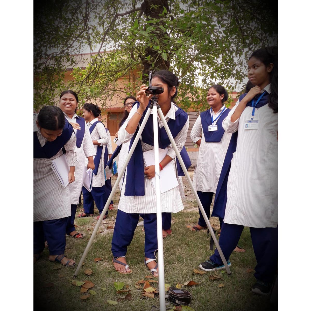
| DSC615P | GEODSC615P :Surveying Techniques and fieldwork Lab
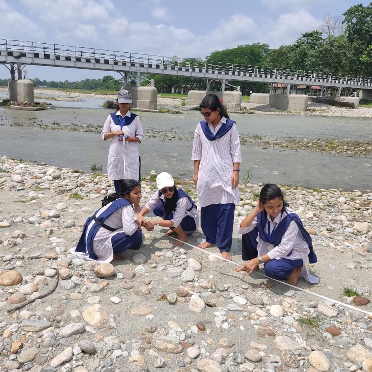
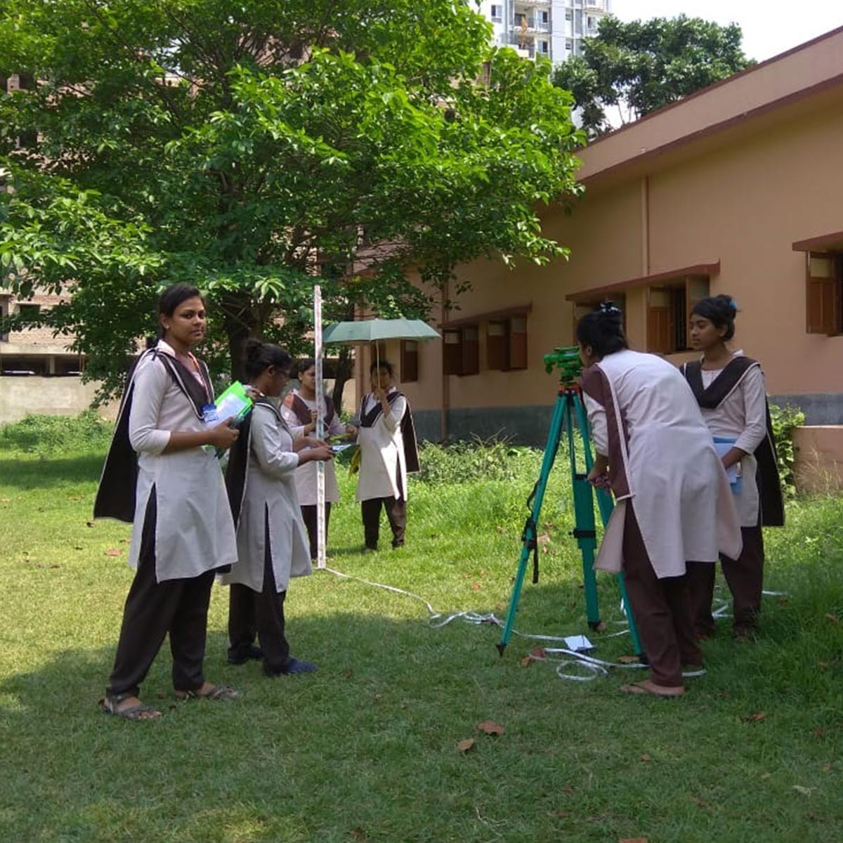
● Brings direct interaction of different types of surveying instruments like Dumpy level, Prismatic compass and Theodolite with environment; ● To acquire experiences outside of the classroom; ● Develop a project based on field work in one of the following areas: resource survey, population survey, agricultural survey, settlement survey, environmental issues, industrial visit, health survey, natural hazard, or disaster; ● Allow students to gather their primary data, provide opportunities to extend classroom learning through direct observation and experience; ● Allow for scientific research through field experiments. |
Draw, identify, outline, indicate, convert, interact, visualise, apply, determine, draw, plot, diagram, explain, inventory, correlate, layout, interpret measure
|
3,5,6,8,9 |
| DSC716T | GEODSC716T : Hydrology & Oceanography
● Hydrology has evolved as a science in response to the need to understand the complex water systems of the Earth and help to solve water problems. ● It provides guidance for undergoing proper planning and management of water resources. ● Calculates rainfall, surface runoff, and precipitation. ● It is especially important today as climate change, pollution, and other factors are threatening the ocean and its marine life. ● Field of Oceanography is the best career option for the students having interest in the study of the ocean and its surrounding environment. |
Describe, identify, record, analyse, distinguish, diagram, explain, write, compare, measure
|
1,4,6,8,9 |
| DSC717T/P | GEODSC717T/P : Statistical Methods In Geography
● To collect, analyse and interpret the data and representation of data such as using Bar graphs, Pie charts or tables. ● To plan the collected data in terms of experimental designs and statistical surveys. |
Define, describe, draw, index, label, tabulate, rank, test, validate |
1,5,6,7,8,9 |
| DSC818T | GEODSC7818T : Advanced Geomorphology
● Students would be acquainted with the utility and application of Geomorphology in different regions and environments; ● Understand the geological time scale, interior of the earth, isostasy, plate tectonics and various types of fold and faults and explain the cycle of erosion with special reference to slope development; ● Understand the application of geomorphology in the view of anthropogenic and environmental geomorphology. |
Define, describe, draw, identify, read, recognize, study, trace, write |
1,2,3,4,5,8,9 |
| DSC819T | GEODSC7819T : Regional Development and Planning
● Understand and identify regions as an integral part of geographical study; ● Analysing the concept of regions and regionalization; ● Focus on Region-wise environmental, social and economic issues; ● Improve different aspects of life for the people in the area, like transportation, housing, environment, and economy; ● Appreciate the varied aspects of development and regional disparity in order to formulate measures of balanced development; ● Build an idea about theories and models for regional planning; ● Know about measuring development indicators. |
Define, describe, identify, recognize, categorise, relate, write, criticise, determine, explain, interpret
|
1,2,4,7,9 |
| DSC820T | GEODSC7820T : Advanced Climatology
● To understand the seasonal variations of the elements of weather and climate to understand the variations of regional atmospheric phenomena; ● To know about history, recent trends, impact and dynamics of climate change on earth; ● To assess future risk of climate change and the adaptation and mitigation options. |
Define, describe, draw, identify, read, select, study, write |
1,2,3,4,6,7,8,9 |
| DSC821T | GEODSC7821T : Rural and Urban Geography
● Assess the significance of rural geography, the concept of rural development; ● Gain knowledge about urban geography and relationship between urban and rural areas; ● Build an idea about the concept of suburban development. |
Define, describe, identify, read, study, write, categorise, explain, model, modify, criticise
|
1,2,3,4,5,6,7,9 |
PO & CO MATRIX (NEP)
| Course | PO1 | PO2 | PO3 | PO4 | PO5 | PO6 | PO7 | PO8 | PO9 |
| DSC101T/P | ✔ | ✔ | ✔ | ✔ | ✔ | …. | …. | ✔ | ✔ |
| DSC202T/P | ✔ | ✔ | …. | ✔ | ✔ | ✔ | …. | ✔ | ✔ |
| DSC303T/P | ✔ | ✔ | ✔ | ✔ | ✔ | …. | …. | ✔ | ✔ |
| DSC404T/P | ✔ | ✔ | ✔ | ✔ | …. | ✔ | ✔ | ✔ | ✔ |
| DSC405T | ✔ | ✔ | ✔ | ✔ | ✔ | …. | …. | …. | ✔ |
| DSC406T | ✔ | ✔ | ✔ | ✔ | …. | ✔ | ✔ | ✔ | ✔ |
| DSC407T/P | …. | …. | ✔ | ✔ | ✔ | ✔ | ✔ | ✔ | ✔ |
| DSC508T | ✔ | ✔ | …. | ✔ | ✔ | ✔ | …. | ✔ | ✔ |
| DSC509T/P | ✔ | ✔ | ✔ | ✔ | ✔ | ✔ | ✔ | ✔ | ✔ |
| DSC510T | ✔ | ✔ | ✔ | ✔ | …. | ✔ | …. | ✔ | ✔ |
| DSC511T/P | ✔ | …. | ✔ | ✔ | …. | ✔ | ✔ | ✔ | ✔ |
| DSC612T | ✔ | …. | …. | …. | ✔ | …. | …. | ✔ | …. |
| DSC613T/P | ✔ | ✔ | ✔ | ✔ | ✔ | ✔ | ✔ | ✔ | ✔ |
| DSC614T | ✔ | ✔ | ✔ | ✔ | ✔ | ✔ | ✔ | …. | ✔ |
| DSC615P | …. | …. | ✔ | …. | ✔ | ✔ | ….. | ✔ | ✔ |
| DSC716T | ✔ | …. | …. | ✔ | …. | ✔ | …. | ✔ | ✔ |
| DSC717T/P | ✔ | …. | …. | …. | ✔ | ✔ | ✔ | ✔ | ✔ |
| DSC818T | ✔ | ✔ | ✔ | ✔ | ✔ | …. | …. | ✔ | ✔ |
| DSC819T | ✔ | ✔ | …. | ✔ | …. | …. | ✔ | …. | ✔ |
| DSC820T | ✔ | ✔ | ✔ | ✔ | …. | ✔ | ✔ | ✔ | ✔ |
| DSC821T | ✔ | ✔ | ✔ | ✔ | ✔ | ✔ | ✔ | …. | ✔ |
| Course | COURSE OUTCOME GEOA
(CBCS SYLLABUS) |
Bloom’s Taxonomy | PSOs mapping |
| CC1 | GEOACOR01T/P : Geotectonics and Geomorphology
● Geotectonics and Geomorphology aims to provide an in-depth knowledge about the physical features of the earth. ● It makes the students aware of the dynamic geomorphic processes responsible for the development of landforms of varied types and nature. ● It focuses on various aspects of the earth’s surface, especially the lithosphere. ● This paper focuses on the creation, evolution, structure, and destruction of various landforms of the earth. |
Define, describe, identify, write, compare, criticise, determine, evaluate, example interpret
|
1,2,3,4,5,8,9 |
| CC2 | GEOACOR02T/P : Cartographic Techniques
● Comprehend the concept of scales and representation of data through cartograms; ● Maps have helped with exploration, travel, and the planning of cities and military operations; ● Thematic maps used for exploratory spatial data analysis, confirming hypotheses, synthesising spatial data by revealing patterns and relationships, and data presentation. |
define, describe, identify, draw, outline, analyse,
compare, correlate, create, design, develop, compare, conclude, interpret
|
3,4,5,6,7,8,9 |
| CC3 | GEOACOR03T : Human Geography
● Human Geography provides knowledge about the human aspects of geography. ● Various quantitative techniques, indexes, formulas are taught to depict, interpret and represent the human geographic data. ● Students will learn about the evolution of human societies with the passage of time as well as the lifestyle of different human societies living in different parts of the world. |
Define, describe, identify, outline, classify, illustrate, criticise, evaluate, contrast, interpret, compare
|
1,2,4,5,6,8,9 |
| CC4 | GEOACOR04T/P : Cartograms And Thematic Mapping
● This paper helps to acquire theoretical knowledge regarding art and science of thematic map making. ● Students can construct maps of various regions representing various themes. ● Comprehend the concept of scales and representation of data through cartograms; ● Maps have helped with exploration, travel, and the planning of cities and military operations; ● Thematic maps used for exploratory spatial data analysis, confirming hypotheses, synthesising spatial data by revealing patterns and relationships, and data presentation. |
define, describe, identify, draw, outline, analyse, compare, correlate, create design, develop, compare, conclude, interpret
|
3,4,5,6,7,8,9 |
| CC5 | GEOACOR05T/P : Climatology
● Climatology provides the knowledge of the dynamics of earth’s atmosphere and global climate. ● Helps in studying and understanding climate change. ● Through the analysis of historical climate data and the atmospheric processes, students will understand global warming and its impacts on ecosystems, weather patterns, and human societies. |
Define, describe, identify, index, indicate, name, outline, record, tabulate, evaluate, explain, interpret measure |
1,2,3,4,6,7,8,9 |
| CC6 | GDOACOR06T : Geography of India and West Bengal
● To learn about the physical environment, location pattern, population size, shape and characteristics, agricultural distribution of India and West Bengal. ● Helps to learn about the physiographic divisions, character of soil and natural vegetation of our state also. ● Helps to know the industrial location and their regional distribution, transportation systems of our country and state. ● Students come to know about different serious issues of West Bengal and may formulate some remedial measures in order to mitigate these to some extent. |
Compare, differentiate, identify, combine, write, contrast, define, describe, outline
|
1,2,3,4,6,7,8,9 |
| CC7 | GEOACOR07T/P : Statistical Methods In Geography
● To collect, analyse and interpret the data and representation of data such as using Bar graphs, Pie charts or tables. ● To plan the collected data in terms of experimental designs and statistical surveys. |
Define, describe, draw, index, label, tabulate, rank, test, validate |
1,5,6,7,8,9 |
| CC8 | GEOACOR08T : Regional Development and Planning
● Understand and identify regions as an integral part of geographical study; ● Analysing the concept of regions and regionalization; ● Focus on Region-wise environmental, social and economic issues; ● Improve different aspects of life for the people in the area, like transportation, housing, environment, and economy; ● Appreciate the varied aspects of development and regional disparity in order to formulate measures of balanced development; ● Build an idea about theories and models for regional planning; ● Know about measuring development indicators. |
Define, describe, identify, recognize, categorise, relate, write, criticise, determine, explain, interpret
|
1,2,4,7,9 |
| CC9 | GEOACOR09T : Economic Geography
● To understand basic economic processes (Production, Exchange, Consumption), revision and application of modes of economic development by various models, ● Compare the economic environment in the world and understand economic transportation with the role of international trade in economic development. |
Compare, elaborate, explain, measure, evaluate, interpret, define, describe, name, classify |
1,2,3,4,5,9 |
| CC10 | GEOACOR10T/P : Environmental Geography
● Environmental Geography provides a much-needed capability to study and understand interactions between people, and the environments in which they live. ● It prepares students for careers in environmental planning, design, and restoration, as well as in environmental assessment and monitoring, resource management, natural areas preservation, and outdoor and environmental education. ● Helps to visualise geographical issues at different spatial scales, and offer solutions to some of our most pressing environmental problems.
|
Define, describe, identify, index, indicate, name, outline, record, state, study, tabulate, determine, evaluate, explain, interpret, measure |
1,2,3,4,5,6,7,8,9 |
| CC11 | GEOACOR11T/P : Research Methodology And Fieldwork
● Have expertise in identification of area of study, methodology, quantitative and quantitative analysis, and conclusions to be drawn about the area – fundamental to geographical research; ● Help students to select an appropriate research design ; ● Enable the students to prepare report writing and framing Research proposals ; ● Handle logistics and other emergencies on field. ● Develop skills in photography, mapping and video recording. ● To acquire experiences outside of the classroom; ● Develop a project based on field work in one of the following areas: resource survey, population survey, agricultural survey, settlement survey, environmental issues, industrial visit, health survey, natural hazard, or disaster; ● Allow students to gather their primary data, provide opportunities to extend classroom learning through direct observation and experience; ● Allow for scientific research through field experiments. |
Know, understand, analyse, summarise, explain, formulate, evaluate, test, verify, interpret, validate Draw, identify, outline, indicate, convert, interact, visualise, apply, determine, draw, plot, diagram, explain, inventory, correlate, layout, measure |
1,2,3,4,5,6,7,8,9 |
| CC12 | GEOACOR12T/P : Remote Sensing and GIS
● It is an effective tool for systematic survey, analysis, and better management of natural resources like land, soil, water, forests, mountains etc. as well as it has an important role in hazard monitoring. ● Remote sensing is also useful in oceanography as it tracks ocean circulation, temperature, and wave heights to understand ocean resources better. ● Satellite remote sensors can serve as major sources of data on the effects of human behaviour within the biosphere, enabling the establishment of the spatial scale and extent of the direct interaction of humans with the global land cover. |
Define, draw, label, point, select, code, create, format, formulate, import, program
|
1,3,4,7,8,9 |
| CC13 | GEOACOR13T : Evolution of Geographical Thought
● Demonstrate an understanding of the evolution of geographical thoughts from ancient to modern times; ● Analyse and evaluate the contributions of different schools of geography and their impact on the development of the discipline; ● Evaluate the dualisms in geography and their relevance in contemporary geography; ● Critically evaluate the different trends in geography and their impact on the discipline. |
Name, quote, study, detail, express, elaborate, classify, illustrate, distinguish, explain, identify, evaluate
|
1,5,8 |
| CC14 | GEOACOR14T/P : Disaster Management
To understand the combination of hazards, vulnerability, ability to reduce the potential negative consequences of risk results in disaster as well as different mitigative measures for both different natural and man-made disasters. |
Define, describe, record, study, blue print, diagnose, group, interrupt, inventory |
1,2,3,4,5,6,7,8,9 |
| DSE1 | GEOADSE01T : Soil and Biogeography
● This paper helps students to learn how to protect soils, plants and animals. ● Students will learn the importance of soil which is the foundation of basic ecosystem function. Soil filters our water, provides essential nutrients to our forests and crops, and helps to regulate the Earth’s temperature as well as many of the important greenhouse gases. ● Students will learn the important role of Biogeography in managing the world’s biodiversity, geographical distribution of organisms, and the information about how and when species may have evolved. |
Define, describe, draw, identify, list, indicate, name, outline, read, record, study, tabulate, write
|
1,2,3,4,6,8,9 |
| DSE2 | GEOADSE02T : Settlement Geography
This course helps to understand the various facets pertaining to the spatial variation in the distribution of the human population across the Earth with reference to the physical, cultural and socio-economic environment. |
Define, describe, identify, read, study, write, classify |
1,2,4,5,6 |
| DSE3 | GEOADSE03T : Population Geography
● To understand the various facets pertaining to the spatial variation in the distribution of the human population across the Earth with reference to the physical, cultural and socio-economic environment. ● Population studies help us to know how far the growth rate of the economy is keeping pace with the growth rate of the population.
|
Define, enumerate, outline, compute, example |
1,2,4,5,6,8,9 |
| DSE4 | GEOADSE04T : Hydrology & Oceanography
● Hydrology has evolved as a science in response to the need to understand the complex water systems of the Earth and help to solve water problems. ● It provides guidance for undergoing proper planning and management of water resources. ● Calculates rainfall, surface runoff, and precipitation. ● It is especially important today as climate change, pollution, and other factors are threatening the ocean and its marine life. ● Field of Oceanography is the best career option for the students having interest in the study of the ocean and its surrounding environment. |
Describe, identify, record, analyse, distinguish, diagram, explain, write, compare, measure
|
1,4,6,8,9 |
| DSE5 | GEOADSE05T : SOCIAL GEOGRAPHY
● It focuses on the scientific study of the relationship of society and space (spatial components); ● Evaluate the social issues, understand the causes and impact of social inequality on society; ● Discuss the indicators of social well-being and quality of life, social space, social groups and intra-urban mobility; ● Gain knowledge about the various contemporary issues related to society. |
Define, describe, read, study, write, classify, compare, discuss, distinguish, example
elaborate, explain
|
1,2,3,4,5,6,7,9 |
| DSE6 | GEOADSE06T : RESOURCE GEOGRAPHY
● Understand the concept, classification, distribution and factors associated with the production and exploration of resources; ● Gain the concept of resource depletion in view of Sustainable Resource development and Conservation of Natural Resources; ● Examine the contemporary energy crisis and assess the future scenario. ● Assess different management practices of Energy Resources: Conventional and Non-Conventional. |
Define, Describe, Identify, Read, Recognize, Study
|
1,4,5,6,9 |
PO & CO MATRIX (CBCS)
| CO | PO1 | PO2 | PO3 | PO4 | PO5 | PO6 | PO7 | PO8 | PO9 |
| CC1 | ✔ | ✔ | ✔ | ✔ | ✔ | … | … | ✔ | ✔ |
| CC2 | … | … | ✔ | ✔ | ✔ | ✔ | ✔ | ✔ | ✔ |
| CC3 | ✔ | ✔ | … | ✔ | ✔ | ✔ | … | ✔ | ✔ |
| CC4 | … | … | ✔ | ✔ | ✔ | ✔ | ✔ | ✔ | ✔ |
| CC5 | ✔ | ✔ | ✔ | ✔ | … | ✔ | ✔ | ✔ | ✔ |
| CC6 | ✔ | ✔ | ✔ | ✔ | … | ✔ | ✔ | ✔ | ✔ |
| CC7 | ✔ | … | … | … | ✔ | ✔ | ✔ | ✔ | ✔ |
| CC8 | ✔ | ✔ | … | ✔ | … | … | ✔ | … | ✔ |
| CC9 | ✔ | ✔ | ✔ | ✔ | ✔ | … | … | … | ✔ |
| CC10 | ✔ | ✔ | ✔ | ✔ | ✔ | ✔ | ✔ | ✔ | ✔ |
| CC11 | ✔ | ✔ | ✔ | ✔ | ✔ | ✔ | ✔ | ✔ | ✔ |
| CC12 | ✔ | … | ✔ | ✔ | … | … | ✔ | ✔ | ✔ |
| CC13 | ✔ | … | … | … | ✔ | … | … | ✔ | … |
| CC14 | ✔ | ✔ | ✔ | ✔ | ✔ | ✔ | ✔ | ✔ | ✔ |
| DSE1 | ✔ | ✔ | ✔ | ✔ | … | ✔ | … | ✔ | ✔ |
| DSE2 | ✔ | ✔ | … | ✔ | ✔ | ✔ | … | ✔ | … |
| DSE3 | ✔ | ✔ | … | ✔ | ✔ | ✔ | … | ✔ | ✔ |
| DSE4 | ✔ | … | … | ✔ | … | ✔ | … | ✔ | ✔ |
| DSE5 | ✔ | ✔ | ✔ | ✔ | ✔ | ✔ | ✔ | … | ✔ |
| DSE6 | ✔ | … | … | ✔ | ✔ | ✔ | … | … | ✔ |

Assistant Professor
View Profile
SACT 1
View Profile
SACT
View Profile
State Aided College Teacher (SACT I)
View Profile| SL No | ACADEMIC CALENDAR | Download/ View |
|---|---|---|
| 1 | CALENDAR – JUL, 2024 – JUN, 2025 | Click Here |
| 2 | CALENDAR – JUL, 2023 – JUN, 2024 | Click Here |
| 3 | CALENDAR – JUL, 2022 – JUN, 2023 | Click Here |
| 4 | CALENDAR – JUL, 2021 – JUN, 2022 | Click Here |
| 5 | CALENDAR – JUL, 2020 – JUN, 2021 | Click Here |
| 6 | CALENDAR – JUL, 2019 – JUN, 2020 | Click Here |
| 7 | CALENDAR – JUL, 2018 – JUN, 2019 | Click Here |
| SL No | Name | Download/ View |
|---|---|---|
| 1 | MASTER ROUTINE 2024 – 2025 | Click Here |
| 2 | MASTER ROUTINE 2023 – 2024 | Click Here |
| 3 | ROUTINE (JUL, 2022 – JUN, 2023) | Click Here |
| 4 | ROUTINE (JUL, 2021 – JUN, 2022) | Click Here |
| 5 | ROUTINE (JUL, 2020 – JUN, 2021) | Click Here |
| 6 | ROUTINE (JUL, 2019 – JUN, 2020) | Click Here | 7 | ROUTINE (JUL, 2018 – JUN, 2019) | Click Here |
| SL No | Name | Download/ View |
|---|---|---|
| 1 | LESSON PLAN SEM 1,3,5 (JUL, 2022 – DEC, 2022) | Click Here |
| 2 | LESSON PLAN SEM 1,3,5 (JUL, 2023 – DEC, 2023) | Click Here |
| 3 | LESSON PLAN SEM 2,4,6 (JAN, 2023 – JUN, 2023) | Click Here |
| 4 | LESSON PLAN SEM 2,4,6 (JAN, 2024 – JUN, 2024) | Click Here |
| 5 | SEM-1,3,5 (JUL – DEC, 2024) | Click Here |
| 6 | LESSON PLAN_SEM-2,4,6 (JAN-JUN, 2024) | Click Here |
| STUDY MATERIALS | Download |
| Association and Correlation | View |
| Climatic Divisions of India (India_ A Comprehensive Geography by D.R.Khullar) | View |
| Concept of hazard and disaster | View |
| General circulation of the atmosphere | View |
| Geological time scale & internal structure of the earth (Source_ Physical Geography by Savindra Singh) | View |
| Pre-Processing & Correction of Digital Image | View |
| Racial Classification of World (Source_A Text Book on Social & Cultural Geography by Jyotirmoy Sen) | View |
| Sampling design and preparation, Photo & Video | View |
| Toposheet | View |
| Understanding Planetary Winds | View |
| CLASS TEST QP | Download |
| CC1 QP | View |
| CC4 QP | View |
| CC7 QP | View |
| CC8 QP | View |
| CC11 QP | View |
| CC13 QP | View |
| CLASS TEST _SEM-II_2023 | View |
| CLASS TEST QP_DS1_SEM-1_2023 | View |
| DSE2 QP | View |
| DSE4 QP | View |
| DSE6 QP | View |
| INTERNAL ASSESSMENT QP | Download |
| INTERNAL EXAM_SEM-I_CC1 THEORY_40 MARKS_09.01.2023 | View |
| INTERNAL EXAM_SEM-III_CC5 THEORY_CLIMATOLOGY_40 MARKS_19.12.2022 | View |
| INTERNAL EXAM_SEM-III_CC6_GEOGRAPHY OF INDIA & WB_40 MARKS_11.11.2022 | View |
| INTERNAL EXAM_SEM-III_CC7_STATISTICAL METHODS IN GEOGRAPHY_40 MARKS_22.12.2022 | View |
| INTERNAL EXAM_SEM-IV_CC8_REGIONAL PLANNING_40 MARKS_01.06.2023 | View |
| INTERNAL EXAM_SEM-IV_CC9_40 MARKS_29.05.2023 | View |
| INTERNAL EXAM_SEM-IV_CC10_40 MARKS_06.06.2023 | View |
| INTERNAL EXAM_SEM-VI_CC13_40 MARKS_03.07.2023 | View |
| INTERNAL EXAM_SEM-VI_CC14_40 MARKS_29.05.2023 | View |
| INTERNAL EXAM_SEM-VI_DSE4_40 MARKS_01.06.2023 | View |
| INTERNAL EXAM_SEM-VI_DSE6_40 MARKS_06.06.2023 | View |
| SEM-I (HONS)_CC2_CARTOGRAPHIC TECHNIQUE_30 MARKS_20.12.2021 | View |
| SEM-II_CC3_HUMAN GEOG_40 MARKS_2020 | View |
| SEM-II_CC4_CARTOGRAPHIC TECHNIQUE_40 MARKS_2020 | View |
| SEM-V (HONS)_CC11_RESEARCH METHODOLOGY_40 MARKS_23.12.2021 | View |
| SEM-V (HONS)_CC12_DISASTER MANAGEMENT_30 MARKS_20.12.2021 | View |
| SEM-V_DSE 1_SOIL & BIOGEOG,_40 MARKS_10.12.2021 | View |
| SEM-V_DSE-2_SETTLEMENT GEO_40 MARKS_14.12.2021 | View |
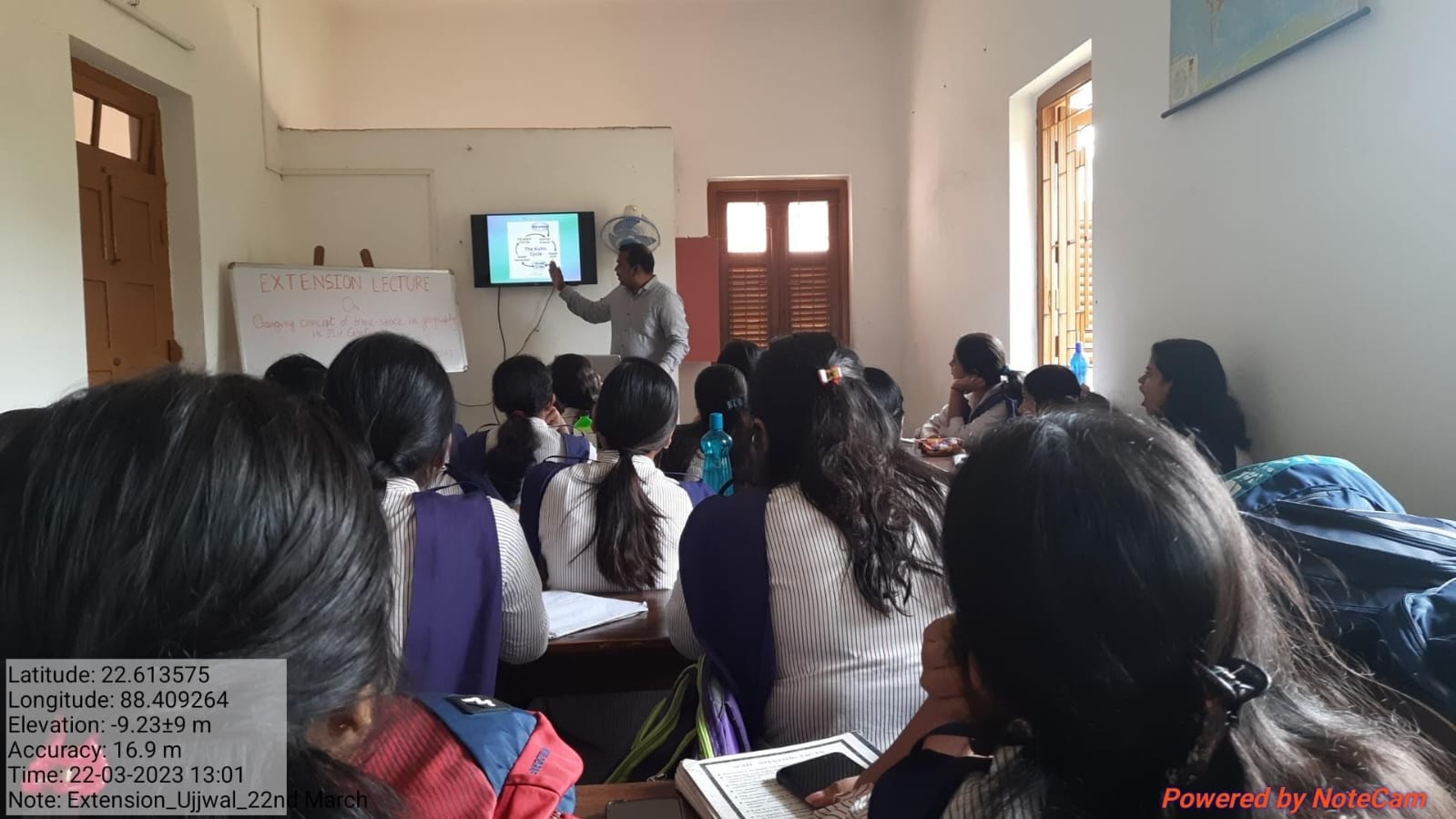
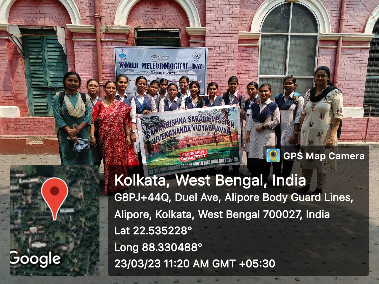
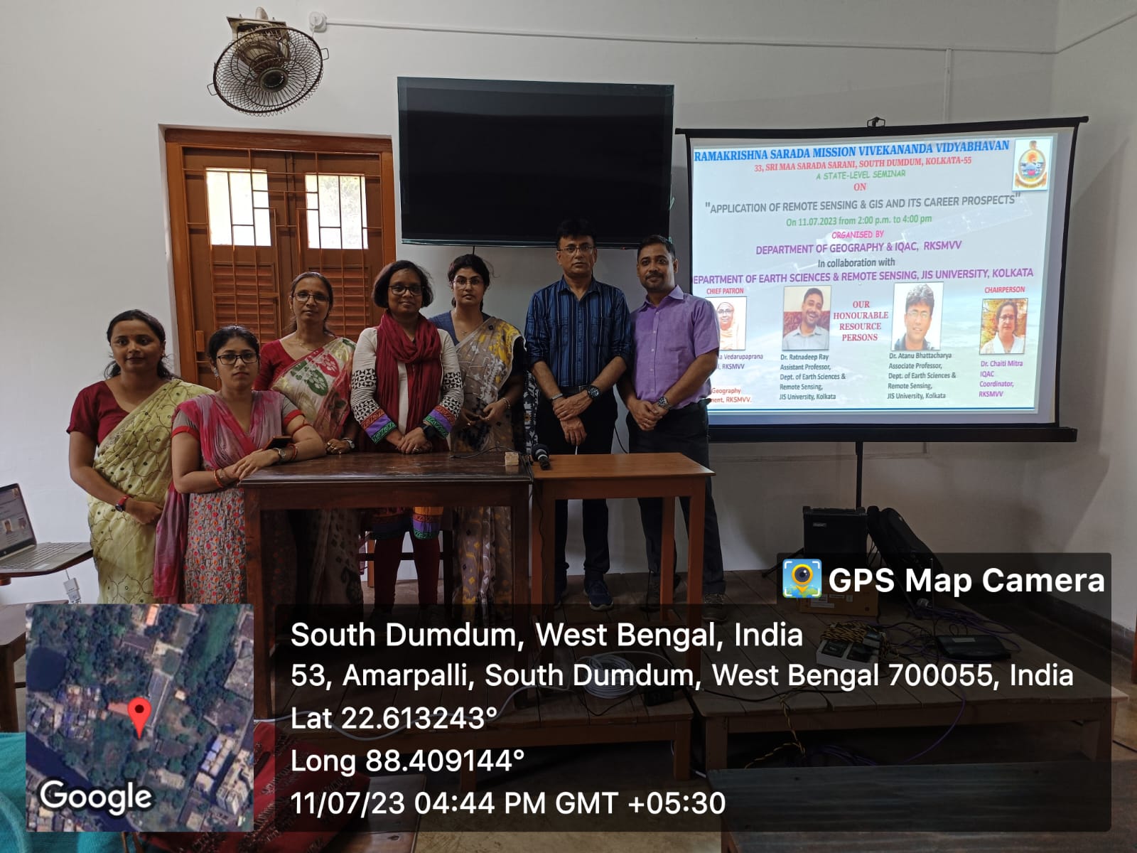
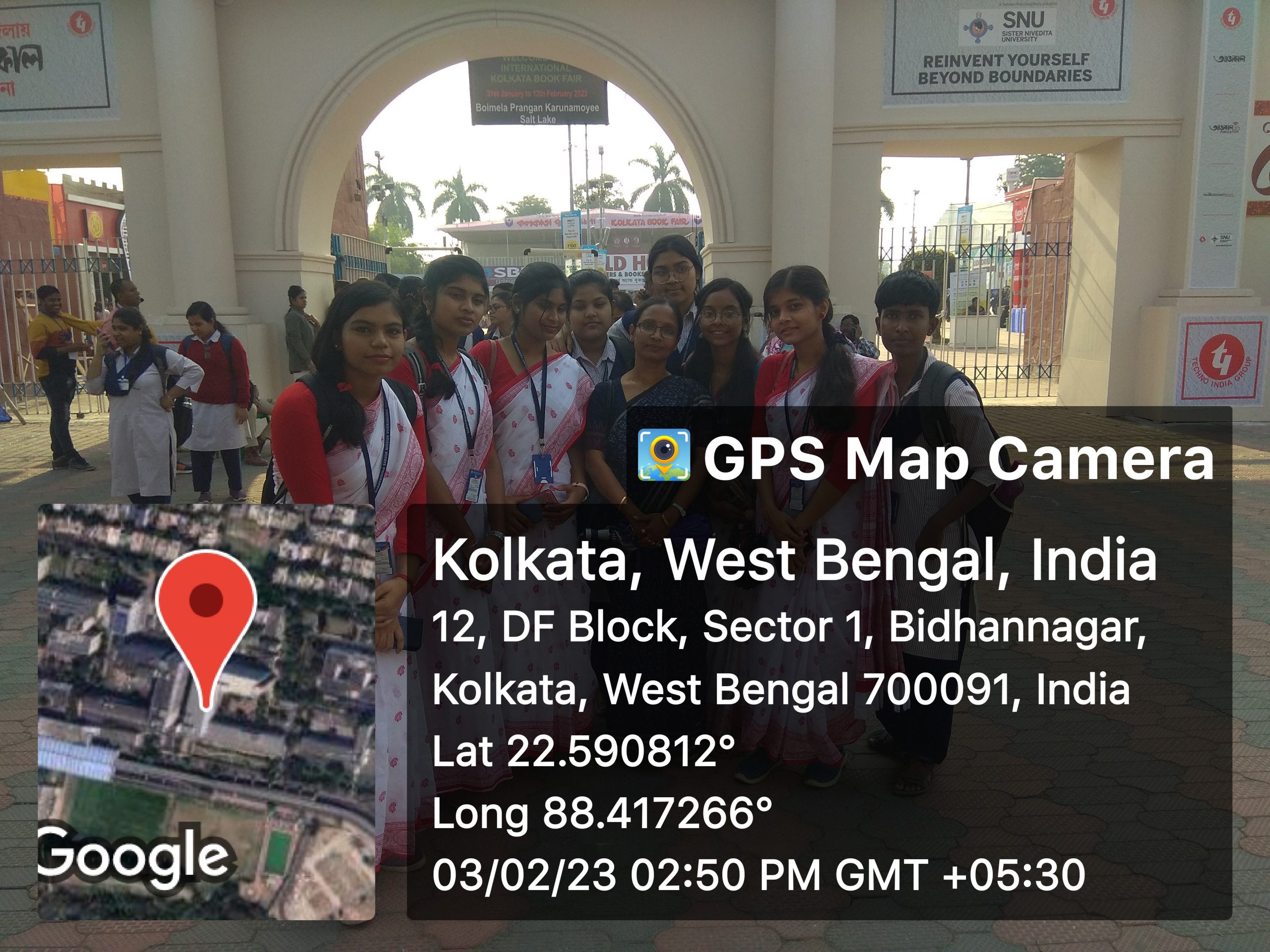
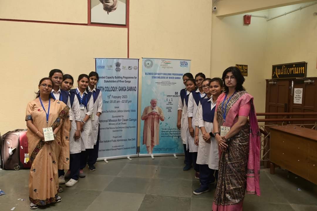
| EXTENSION ACTIVITIES | Download |
| EXTENSION ACTIVITIES | View |
| SL No | Name | Download/ View |
|---|---|---|
| 1 | Event Reports | Click Here |
GEOGRAPHY DEPARTMENT, RKSMVV
REPORT OF SLOW LEARNERS
A Slow Learner is a child of below average intelligence whose thinking skills and scholastic performance have developed more slowly than the pace of her age. Students who are slow learners find it hard to express themselves verbally and cannot articulate easily. They cannot fully make us understand what they intend to tell us.
The causes of slow learning are low intellectual characteristics and personal factors like physical illness and absence from institutions etc. The environmental factors also contribute to this slow learning.
The students who are identified as slow learners in the academic session from July, 2021 to June, 2022 are the following:
From Sem-1 & 2 – Pallabi Datta and Krisha Ghosh
From Sem-3 & 4 – Riya Saha, Mouboni Samanta & Isha Chakraborty
From Sem-5 & 6 – Pritha Bose & Jayita Datta
The students who are identified as slow learners in the academic session from July, 2022 to June, 2023 are the following :
From Sem-1 & 2 – Safika Khatun, Prakriti Mondal & Manisha Show
From Sem-3 & 4 – Pallabi Datta and Krisha Ghosh
From Sem-5 & 6 – Riya Saha, Mouboni Samanta & Isha Chakraborty
The students who are identified as slow learners in the academic session from July, 2023 to June, 2024 are the following :
From Sem-1 & 2 – Sumita Mondal, Dishani Biswas
From Sem-3 & 4 – Prakriti Mondal & Manisha Show
From Sem-5 & 6 – Pallabi Datta and Krisha Ghosh
They all have problems in practical maths, and poor memory. They face attention problems and their work is not organised. Both Pallabi & Krisha have energy deficits. They are very much unwilling to learn and need motivation every time. Riya, Mouboni and Jayita are not interested in conventional study, rather they are interested in co-curricular activities.
Pritha is lagging in concentration, she is always suffering from mental stress and anxiety due to some family problems and can’t concentrate on her studies.
Isha lost her father in covid-19 and from that time can’t concentrate on anything.
All of them need repeated explanations of the topics. They can’t do practical work properly due to absence of proper patience, face problems with slow hand writing, Some of them overthink and are reluctant to participate in any extension activities. All of them have a low attention span. They are also not organised in all situations.
WAY OF MOTIVATION :
What we did for the slow learners are :
RESULT
All our efforts provided us a fruitful result. Most of the students did well in the internal exam as well as the final university exam. They are also motivated and eager to learn. But, in the case of Isha, the problem still persists. She is not successful in her 5th semester result and getting more depressed and unwilling to study. We must provide her more and more care to boost her confidence level and to motivate at study. Hope, our joint effort will provide us with a better result.
| Results and Students Progression | Download |
| RESULTS & STUDENTS PROGRESSION | View |
STUDENTS’ SECTION
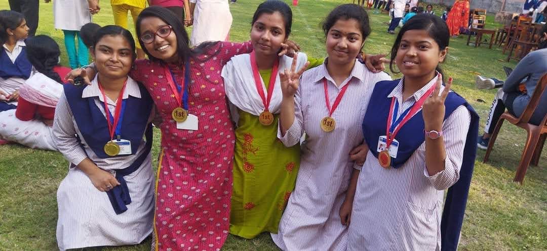
Co-curricular Awards at college
| Session | Names | Rank | College Event (Cultural Competition) |
|
2019-20 |
Jayita Dutta (Sem-1)
|
1st | Classical dance |
| 3rd | Rabindra Nritya | ||
| 3rd | Creative dance | ||
| Bhagyasree Chatterjee (Sem-1) | 3rd | Rabindra Nritya | |
|
2020-21 |
Debopriya Nandan (Sem-1) | 1st | Rabindra Nritya |
| Samadrita Roy (Sem-1) | 2nd | Rabindra Nritya | |
| 2022-23 | Sumana Das (Sem-2) | 2nd | Value Education |
|
2023-24 |
Sanjana Roy (Sem-1) | 2nd | Alpana Competition (29-11-2023) |
| Mandira Chowdhury (Sem-1) | 3rd | Long Jump (21-12-2023) | |
| Debarati Chaterjee (Sem-3) | 3rd | Srijani, Dance | |
| Shreya Maiti (Sem-3) | 1st | Rabindra Nritya | |
| Shreya Maiti (Sem-3) | 2nd | Creative Dance | |
|
2024-25 |
Manisha Pramanik
Srijana Mitra Sayani Maity Lisha Maji Anwesha Bera Diya Mondal |
1st | English Skit: Save Earth Save Environment, (16-4-2024), A Drama Competition
Organised By Sri Sarada Math Rasik Bhita |
| Lisha Maji | 1st | Poster Competition | |
| Supriti Sarkar | 1st | Poster Competition |
Co-curricular Awards
Won by Departmental Students at Prestigious Events
| Session | Names | Rank | Event | Held at |
|
2022-23 |
Bindu Roy (Sem-3) | 3rd | Quiz | Geological Survey of India, Eastern Region HQ, Saltlake, Kolkata – 91 |
| Debopriya Nandan (Sem-3) | 3rd | Quiz | ||
| Sudeshna Barman (Sem-3) | 3rd | Quiz | ||
| Tina Khatun (Sem-3) | 3rd | Quiz | ||
|
2024-25 |
Srijana Mitra | 3rd | State Level Geo-
Photography Competition 19-8-2024 |
Department of Geography in
Collaboration with IQAC, Hiralal Majumdar Memorial College For Women |
| Debarati Chaterjee | 1st | Canvas Con – Mix Media Poster Making (8th & 9th March, 2024) | St. Xavier’s College
(Autonomous), Kolkata, Post Graduate Department Of Multimedia |
|
| Diya Mondal | 1st | Canvas Con – Mix Media Poster Making (8th & 9th March, 2024) | St. Xavier’s College
(Autonomous), Kolkata, Post Graduate Department Of Multimedia |
OUR ACHIEVERS
University Rank Holders
University First rank holder in Geography Honours (CBCS) in 2021.
University First rank holder in Geography Honours (CBCS) in 2023.
Careers chosen by our Alumni
Private Sector :
Govt./Public Sector :
TESTIMONIALS
| SANCHITA DAS (2018-21)
GIS Analyst, Monarch Surveyors & Engineering Consultants Pvt. Ltd., Pune.
|
RKSMVV always believes in helping and guiding students professionally, financially, and most importantly spiritually. Regular classes held at our college help us to develop our skill and make us perfect as a student. I can confidently say that RKSMVV is very different from other colleges I have ever seen because of its teaching-learning process, special norms like morning prayer, value education classes etc. Also this college gives an opportunity to self development with some worthy courses like Spoken English, Coaching for Competitive Exams, Computer Courses, etc.
We were the first honours batch of Geography at RKSMVV. Naturally there were some problems regarding the stock of books in the library, practical tools, and references. But I can never deny the restless help of our teachers. External lectures, monthly decoration of our department’s notice board helped to enrich us. Our teachers are just like our friend-philosopher-guide. We enjoy these three years like a Family. So, a Special and huge thanks to my department and College. |
| RITU SHEE (2018-21) Junior GIS Analyst, Geomatics Scientific Technology Services Pvt. Ltd.
|
Our college Ramakrishna Sarada Mission Vivekananda Vidyabhavan is one of the most beautiful colleges I have ever seen. The first thing I like about our college is the environment and greenery. All kinds of facilities are available here: sports, yoga, dance, and other extracurricular activities. Financial help is also available for the needy students. Counselling sessions are also there. There are different job oriented courses in our college. The teaching-learning process of this college is very nice, teachers are so friendly and guides in everything. This three years’ college experience was amazing. These are irreplaceable memories that have connected each one of us and will never fade. This is going to be always and forever in our heart. |
| MOU GARAI (2019-22) (Technical Supporter, ESRI, India)
|
I am so satisfied to be a part of RKSMVV. It is a prestigious college that not only provided excellent education but also instilled essential life values. The college has a wonderful infrastructure. We all are provided with a number of opportunities like the GIS course, spoken english, yoga, etc., to grow and explore our skills. The emphasis on sports and various career- oriented courses along with education always helped us a lot. Our teachers are highly supportive; they always assist a lot in every situation. The most important thing is that our college has a placement cell, which creates a very bright future for us. The strict rules and diverse courses encouraged us to think beyond academics. Most importantly, the institution’s spiritual environment blessed and guided me throughout, adding a number of values to my life. |
| BHAGYASREE CHATTERJEE (2019-22)
Pursuing M.Sc in Environment & Disaster Management from R.K. Mission Vivekananda Educational & Research Institute, Narendrapur.
|
My three years at RKSMVV have been a transformative and enriching journey, blending modern education with the wisdom of ancient traditions. The moment I stepped into the campus, I was greeted by the soothing embrace of nature. The sprawling lawns, colourful gardens, and the tranquil environment create a perfect setting for learning and self-discovery. The campus itself is an embodiment of the values that Swami Vivekananda and Sri Ramakrishna Dev stood for – simplicity, spirituality, and a deep connection with nature. Regular meditation and yoga sessions were a part of our daily routine, instilling in us a sense of calm and inner strength. One of the highlights of RKSMVV is its dedicated faculty. The professors are not just teachers but mentors who guide students in their quest for knowledge. Their accessibility and willingness to engage in meaningful conversations are what truly set this college apart. Their teaching extends beyond textbooks and often revolves around life lessons and values that mould students into responsible citizens. The institution places immense emphasis on community service and outreach. Engaging in social activities and volunteering was a core part of our education. These experiences not only enriched our understanding of the world but also instilled a deep sense of empathy and social responsibility. The college’s library is a treasure trove of knowledge. It’s not just a place to borrow books; it’s a sanctuary for seekers of wisdom. The serene atmosphere and the vast collection of books, both academic and spiritual, provide students with a rich resource for research and personal growth. The friendships formed at this institution were not just for the duration of our studies but for life. The bonds created here transcended the boundaries of caste, creed, and nationality. |
|
MEGHA SENGUPTA (2020-23) (TCS Employee, TCSL Family)
|
I joined Ramakrishna Sarada Mission Vivekananda Vidyabhavan in 2020 to pursue B.Sc. Course in Geography. Primarily it seems to be super strict which has lots of rules and regulations, but all these disciplines and morals help to make a good human being. Though the covid period didn’t allow us to be physically present in the classroom, our teachers taught us so well that we were fully ready for our semester. Maybe this is the only college where your Principal is always there for us. I am blessed to have Pr. Vedarupaprana Mataji as my principal, she is a noble lady who has always helped us. The natural beauty of the campus is enough to change our exhausted mood. This college gave us so many opportunities to build a good career. I would also like to help this college in future as a proud student of this institution and I would like to invite others to be a part of this historical institution. |
| SUVASREE GHOSH (2020-23)
Preparing for a competitive exam.
|
RKSMVV is the best college in terms of well-maintained education system within a green environment. It provides many facilities like the smart classrooms, high-capacity auditorium, seminar halls, computer lab, Geography laboratory and canteen etc. This college also helps to make an identity (placements in various NGOs, companies i.e. TCS). Here, I realised that students don’t need to take tuitions/private classes as the dept. provides accurate study materials, seminars, practical classes, remedial classes, mentor classes and many extra classes (when the students are willing to join). RKSMVV is a broad name which holds dignity, discipline, dedication towards study, moral values and a bright future for students. Besides the Hons. classes students need to join extra-curricular activities, cultural programs, seminars, Add-on courses, Yoga & meditation etc. Overall this college gave us many chances to shine brighter. |
| ANWESHA SAHA (2019-22) GIS Specialist 1, CDM Smith  |
My overall experience regarding my college life was good. I personally liked the environment of the campus which is free from any kind of political disturbance. This college provides us with an excellent academic environment. All the teachers are very cooperative and helpful. They inspire and drive us to succeed in life. Lastly this college has also provided many career oriented courses which were very helpful to us. |
| SUCHETANA CHAKRABORTY (2019-22)
State Govt Employee, Micro,Small & Medium Enterprises and Textile Department, Shilpa Sadan
|
I feel blessed to have the opportunity to be a part of this college which provided me the freedom to choose an interesting career path. Our respected Professors always provided us with the study materials and prepared us mentally, so that we never give up our goals. Most importantly, the strict rules and regulations help us to be disciplined, punctual and good human beings. Regular classes and a well monitoring system is highly appreciable. Our Professors teach us about values like dedication, compassion and empathy. I’m very lucky to be a part of this most enriching journey with self discovery and spirituality. |